


NASA, USDA partner on soil moisture tool for farmers, scientists
Initiative is NASA, USDA, George Mason University collaboration
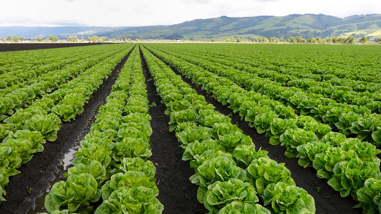
NASA and the U.S. Department of Agriculture (USDA) have teamed up to produce a new tool that will provide farmers, meteorologists and researchers with access to high-resolution data on soil moisture.
The initiative, announced Monday, was spearheaded by NASA's Jet Propulsion Laboratory (JPL) and Goddard Space Flight Center and the USDA's National Agricultural Statistics Service (NASS) in partnership with Virginia's George Mason University.
GET FOX BUSINESS ON THE GO BY CLICKING HERE
The Crop Condition and Soil Moisture Analytics (Crop-CASMA) Portal was developed to provide users access to the high-resolution data from NASA’s Soil Moisture Active Passive (SMAP) mission and the Moderate Resolution Imaging Spectroradiometer (MODIS) instrument in what they say is a "user-friendly format."
This data, they explain in a release, is "critical for professionals in the agriculture and natural resources sectors who use soil moisture in tandem with other data to plan crop planting, forecast yields, track droughts or floods and improve weather forecasts."
In addition, NASA said Crop-CASMA provides more detailed spatial coverage and consistency than other soil moisture measurement methods.
“Soil moisture is a very important piece of information for agricultural yield and productivity,” NASA's Goddard Space Flight Center research associate Rajat Bindlish said in the release.
“This will provide a means of using NASA remote sensing data to guide predictions of moisture conditions and water availability. Information on the field conditions is important for agricultural operations," he said.
At the USDA's NASS, researchers and statisticians will use the tool for things like spotting flooded fields and identifying conditions that might prevent planting. The service currently provides farmers and farm managers with weekly crop progress reports that put states into different moisture categories and track crop health.
“There are also challenges deriving early season crop acreage estimates using remote sensing methods,” NASS Spatial Analysis Research lead Rick Mueller said in the release. "Crop-CASMA can help identify areas that could not be planted because of wet, saturated, frozen, excessively dry, or inaccessible fields resulting in improved planted statistical acreage estimates.”
Mueller noted that the tool would also help to enable research into sustainability and the impact of extreme weather events on soil.
It's an aspect that Crop-CASMA project leader and USDA geographer Zhengwei Yang took into consideration when designing the tool with an interface that requires very little technical background to operate.
However, while Crop-CASMA may have a simplistic layout, the tool's high-resolution data from NASA’s Soil Moisture Active Passive (SMAP) mission is the key.
"Our current reports are at the state level,” Yang said.
"One state may be categorized on average as ‘wet,’ but the whole state might not actually be wet. For instance, one area of a state might be wet, while another might be dry," he added. "These new data deliver localized moisture readings – this is what matters to the farmer.”
Crop-CASMA is a free online resource, available for use here.
CLICK HERE TO READ MORE ON FOX BUSINESS
In December, the USDA and NASA signed a memorandum of understanding aimed at strengthening their longstanding partnership and earth science research.