


Scientists go big with first aquatic species map for US West
BOISE, Idaho – It sounds like a big fish story: a plan to create a biodiversity map identifying thousands of aquatic species in every river and stream in the western U.S.
But scientists say the first Aquatic Environmental DNA Atlas will be available to the public by next summer.
Dan Isaak, with the U.S. Forest Service in Idaho, says the map could help with land management decisions, such as where to spend limited money and resources.
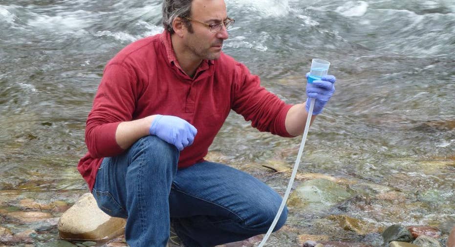
The map eventually will include everything from insects to fish to river otters. It is possible because of a new technology that can identify stream inhabitants by analyzing water samples containing DNA.
Isaak says the immense scale of the sample collecting likely will require help from many entities, including citizen scientists.